
Planning a day through Kawarau Gorge
Kawarau Gorge belongs to the river corridor east of Queenstown towards Cromwell. The Kawarau leaves Lake Wakatipu at the Frankton Arm and flows towards the Clutha/Mata-Au system. Along the way, the river is often deeply incised, fast and powerful. A day here is easiest to organise around specific destinations: the historic bridge, Gibbston, the mining centre and Cromwell. Each has its own access and reason to stop.
State Highway 6 provides the road connection through the region. A road journey, a jet boat ride and a cycle trail cover different routes, so choose the experience before judging how much of the gorge you will see. The getting-there guide separates Queenstown, the airport and the bridge. For the broader range of activities, see Kawarau excursions rather than treating the whole river as a single attraction entrance.
Wine country beyond Gibbston
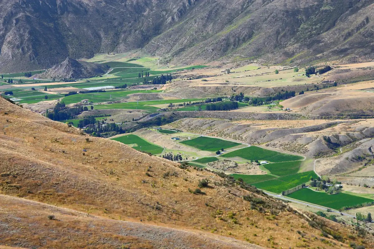
An organised wine outing can take the road journey into the gorge beyond the immediate Gibbston area. The small-group itinerary through Gibbston and Bannockburn includes travel through the Kawarau Gorge, an underground wine cellar tour and wine tasting. This offers a route through the landscape with a tasting programme, rather than a stand-alone hiking or mining visit. It is an adults-only outing with a maximum of ten guests.
A drive through the gorge
This small-group wine tour travels through the gorge to Bannockburn and includes a cave tour and tasting.
Hand-picked tours, booked through Viator. Prices are indicative starting prices in US dollars (as of October 2026). Tap a tour for live availability and the current price in your currency.
Through the gorge to Bannockburn
This wine outing follows the Kawarau Gorge beyond Gibbston into Bannockburn, combining the drive with cellar and tasting experiences.
Roaring Meg: river scenery and a separate backcountry track
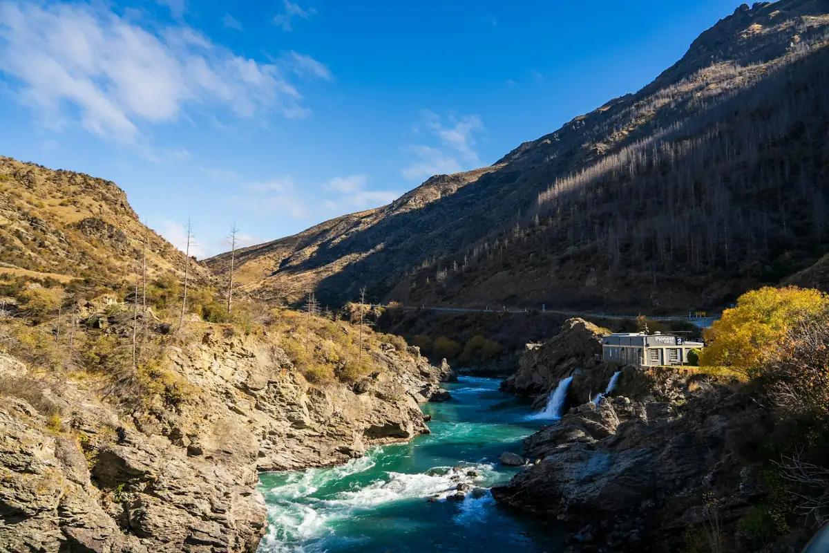
Roaring Meg is a distinctive part of the gorge landscape. Keep a scenic river stop separate from a plan to walk the Roaring Meg Pack Track. DOC describes the section from Tuohys Gully car park to Tuohys Saddle as six kilometres, taking about two hours and thirty minutes. That is a walking commitment in its own right, rather than a short detour attached to a roadside photograph.
The later section towards the power station uses an unmarked four-wheel-drive track across private land and is outside DOC maintenance. Plan any longer walk around its specific access arrangements and route conditions. The Roaring Meg car park is also on DOC's list of places where freedom camping is prohibited. Use it in your plans as a stop, rather than an overnight base for exploring the gorge.
Mining Centre and the gold-working landscape
The mining centre is beside State Highway 6 in the gorge near Cromwell. Its visitor programme includes guided tours, gold panning, historic water-powered mining methods and the Chinese Village. These give the landscape a human history alongside the river views. Gold panning belongs to the visitor programme; for an independent excursion, keep it within that organised setting.
The centre's history dates the Otago gold rush to 1861 and work on the Kawarau to 1862. European and Chinese miners worked at the site historically called Gee's Flat, and the last full-time miner left in 1969. Opening hours are 09:00 to 17:00 from September to April and 10:00 to 16:00 from May to August. Allow a dedicated visit rather than fitting the mining displays into a rushed road stop.
Cromwell, Lake Dunstan and Otago cycle routes
Cromwell makes a useful focus for the eastern side of the day. The Lake Dunstan Trail from Cromwell to Clyde is a separate route of 42 kilometres, taking about four to six hours and graded 2 to 3. Its climbs and narrow sections deserve consideration when choosing a ride. The Otago Rail Trail is another route again. Treat their names as distinct planning choices rather than interchangeable labels for a flat lakeside cycle.
The municipal update dated 22 October 2026 announced a partial opening of the Kawarau Gorge Trail on 25 October 2026: 17 kilometres from Butcher Drive in Cromwell to Pioneer Bridge, immediately above the mining centre. Beyond the locked gate, the remaining route was still a construction area. Base a ride on that stated section and follow the on-site boundary. The notice describes a partial opening, with the remainder still under construction.
For a different walking or cycling day nearer Queenstown, the Gibbston River Trail runs above river cliffs. The historic suspension bridge is another distinct stop, especially if the story of transport to the goldfields interests you. Combining selected stops gives each place time without requiring a continuous route along the riverbank.
Gorge planning questions
Can I cycle the entire new gorge trail?
The municipal update of 22 October 2026 describes the 17-kilometre partial opening from Cromwell to Pioneer Bridge on 25 October. Beyond the locked gate, the route remained under construction.
When is the mining centre open?
Its listed hours are 09:00 to 17:00 from September to April and 10:00 to 16:00 from May to August. Plan the visit within the applicable seasonal hours.
Is Roaring Meg Pack Track a short lookout walk?
Plan it as a separate walk. The Tuohys Gully to Tuohys Saddle section alone is six kilometres and about two hours and thirty minutes; the later private-land track needs its own access planning.